Sunset Map

Find Where the Light
Actually Lasts Tonight

One heatmap. Gold means the light stays until the end. Tap anywhere to see exactly when it dies.

iPhone · iOS 17 or later · Launching soon. The button opens an email and you get one message on launch day.

You picked a spot. A ridge killed the light 40 minutes early. You didn't know until you were already there.

Mountains, buildings, and hills block the low sun. No app showed you where, until now.

How It Works

The heatmap over Lausanne and Lake Geneva, gold where the light lasts and indigo where it ends early.

Open the Map

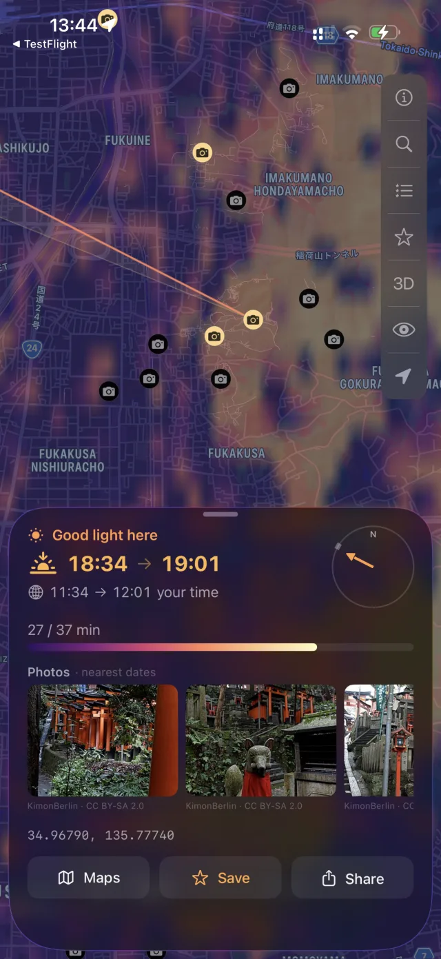
A weather-radar-style heatmap renders over your area, gold where the light lasts, indigo where terrain kills it early.

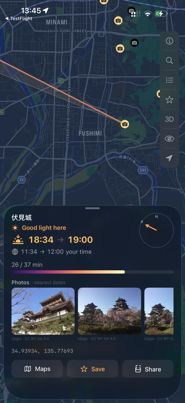
A tapped point near Geneva with a line showing the direction of the setting sun.

Tap Any Point

See the exact minute direct golden light ends there, computed from real elevation data and the sun's actual angle tonight.

A beach in Bali on the map, marked as a great sunset spot.

Go to the Gold

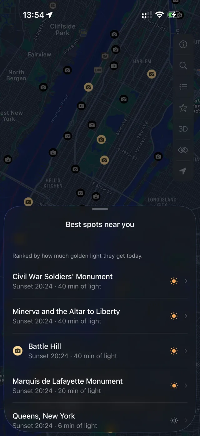
Save the spot, share it with one tap, and watch the live countdown to golden hour from wherever you are.

What Changes

No More Wasted Trips

You know before you leave whether your spot keeps the light or loses it behind a ridge.

Cities Too

Zoomed in, the heatmap accounts for buildings, so you find the street, square, or rooftop that actually sees the last light.

Works Everywhere, Offline

All terrain math runs on-device. No account, no backend, no connection required once tiles load.

The Answer in Seconds

Not a forecast. Not an approximation. The minute the light dies at that exact point, tonight.

What makes Sunset Map different

PhotoPills, Sun Surveyor and the other sun apps are great once you already have a spot. They tell you what the sun will do there. Sunset Map helps you find the spot in the first place.

The whole map at once

Most apps check one pin at a time. Sunset Map checks every point on the screen and paints the results as a heatmap, so you can compare spots at a glance.

One number you can act on

Instead of sun charts to read, you get a simple count of golden minutes for every point. Gold means the light lasts. Indigo means it ends early.

The hills are already counted

You never have to measure angles or squint at a 3D preview. The app checks real elevation data, and real buildings when you zoom in, against the sun's path for you.

Tonight is free.

The free plan covers tonight, near where you are. A membership lets you check any date and any place on Earth.

Free

CHF 0
  • Tonight's light, near you
  • Any point within 1 km of you
  • Full heatmap and countdown

Monthly

CHF 2.90 / month
  • Any date, months ahead
  • Any point on Earth
  • Unlimited saved spots
  • Cancel anytime

Lifetime

CHF 69 once
  • Every date, every spot, forever
  • One payment, no renewal
  • All future updates

Prices in Swiss francs, estimated for your region. The exact price appears in the App Store, in your local currency. Payments are handled by Apple. Subscriptions renew automatically until cancelled, and you can cancel at any time from your Apple account settings. The yearly plan starts with a 7-day free trial. Cancel before it ends and you pay nothing.

Good to know

Do I need an account?
No. The app works without an account. Nothing you do in it is sent to us, and there is no tracking inside the app. A membership is tied to your Apple ID, the same as any App Store purchase, so there is still nothing to sign up for.
How does it know a ridge blocks the sun?
The app downloads real elevation data (Terrain Tiles on AWS Open Data, the Tilezen/Mapzen dataset). For your date it traces the sun's path across the sky and checks, minute by minute, whether a hill stands between the sun and your point. In cities it also loads OpenStreetMap building outlines, so streets and rooftops get the same treatment as ridgelines.
How do I cancel or restore a purchase?
Subscriptions live in your Apple account: open Settings → your name → Subscriptions to cancel. If you reinstall the app or switch iPhone, tap Restore on the membership screen and your purchase comes back. Refunds are handled by Apple at reportaproblem.apple.com. More questions are answered on the support page.
Where does the map data come from?
The terrain comes from Terrain Tiles on AWS Open Data (the Tilezen/Mapzen dataset). Buildings and viewpoints come from VersaTiles, built on OpenStreetMap. The base map is Apple Maps, and the cloud forecast comes from Apple Weather. Everything arrives as anonymous map downloads and is cached on your device.

Stop Guessing. The Best Spot Is Already on the Map.

We only use your email once, to tell you the app is out.